
According to the National Weather Service in Charleston, a strong cold front will push across the Southeast U.S. Wednesday morning into early afternoon and drive a line of quick-moving showers and isolated thunderstorms through the region.
Damaging wind gusts could occur within the stronger showers/thunderstorms. In addition, gusty winds will develop with the front on Wednesday and may lead to dangerous marine conditions.
TIMING
8 AM to 2 PM on Wednesday, March 5, 2025
HAZARDS & IMPACTS
- Lake Moultrie Winds:
- Lake Moultrie Winds: 20-25 kt winds with gusts 30 to 35 kt. Dangerous lake conditions possible.
- Lake Moultrie Winds: 20-25 kt winds with gusts 30 to 35 kt. Dangerous lake conditions possible.
- Severe Thunderstorms:
- Gusts within stronger showers/thunderstorms could reach 60+ mph.
- Gusts within stronger showers/thunderstorms could reach 60+ mph.
- ▪ MarineWinds/Seas:
- Winds 20-25 kt with gusts 30 to 35 kt across the coastal waters.
- Gusts within showers/thunderstorms could reach 50 kt or greater.
- Dangerous seas as high as 6-10 feet.
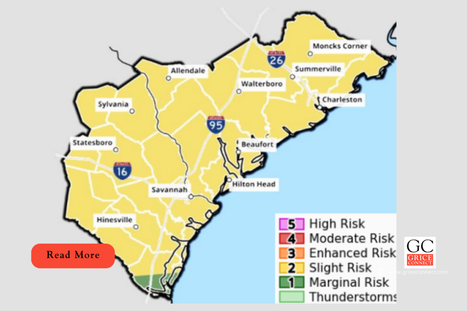
SEVERE WEATHER OUTLOOK
- Storms move into the area during the morning hours, and are expected to move east of the area by mid-afternoon.
- Isolated strong to severe thunderstorms are possible.
- The greatest threat are strong wind gusts up to 60 mph.


