
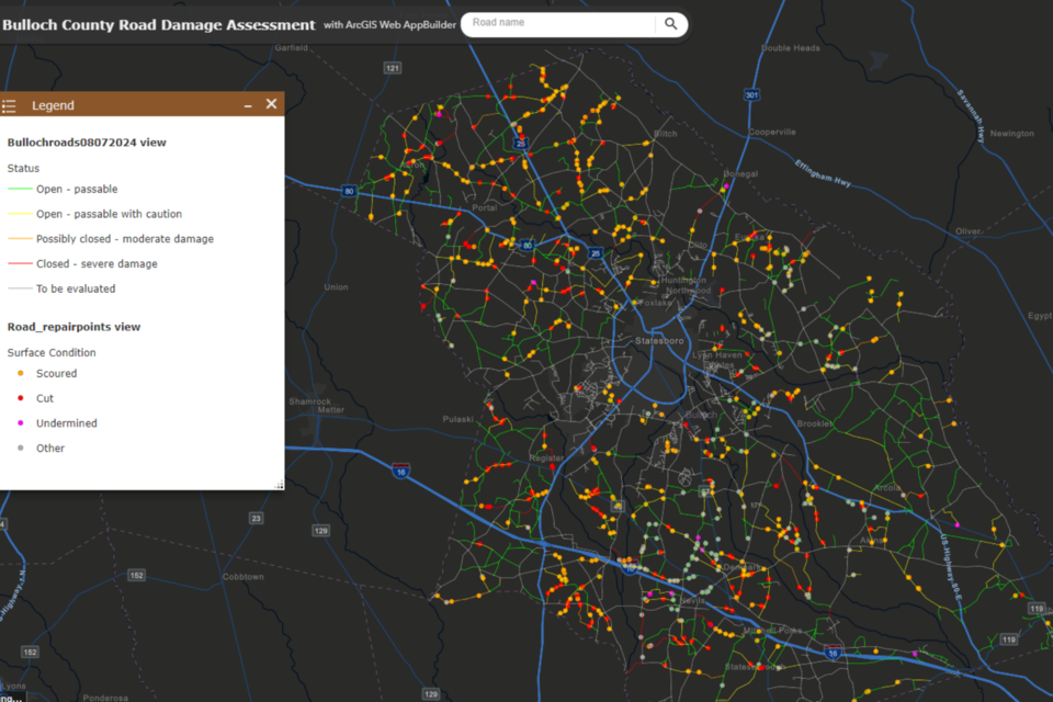
As Bulloch County continues to recover from Tropical Storm Debby and repair roads across the County, Bulloch County Public Works and Bulloch County GIS have created an interactive map to allow citizens to follow the conditions and statuses of county-maintained roads. You can search by road name or locate the road on the map and click on it to get an updated status.
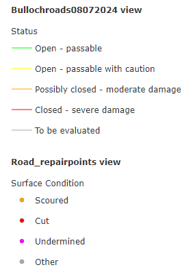
The map also includes a legend at the bottom that uses color codes and dots to explain the current status of road conditions. The map is continuously updated as Public Works employees travel the county and assess each road.
As of noon on Friday, August 16, 2024 out of nearly 700 miles of dirt roads in Bulloch County. Public Works have identified 708 areas that need some sort of repairs. They are still assessing the dirt roads. Public Works and other county staff have completed 78% of road evaluations.
Advisory
Roads identified as "passable" are not back to their normal conditions. They've been improved, but only to a level that emergency vehicles could pass through if needed. Please avoid driving on them, if possible, but use slow speeds and be cautious if you have to use them.


