
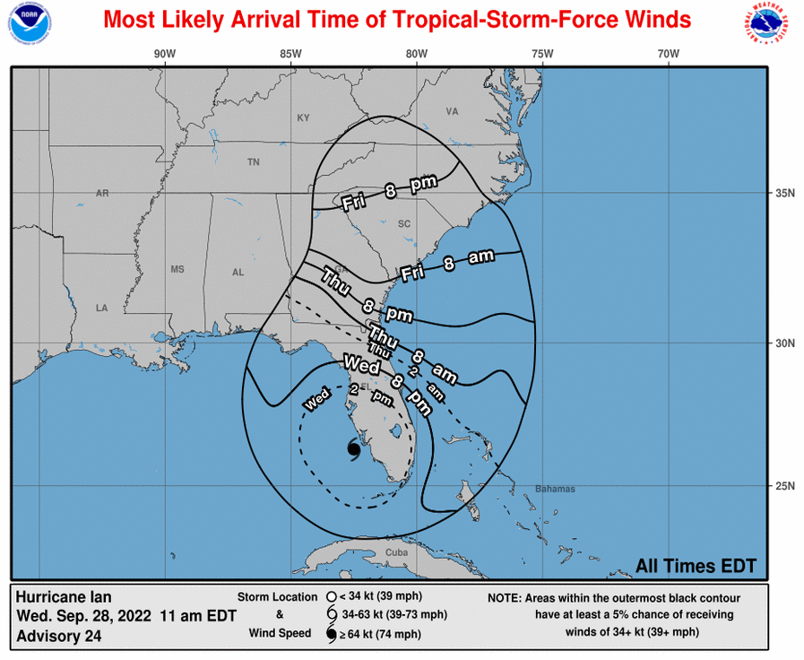
Tropical Storm Watch has been issued on September 28 by NWS Charleston. A Tropical Storm Watch means tropical storm-force winds are possible somewhere within this area within the next 48 hours.
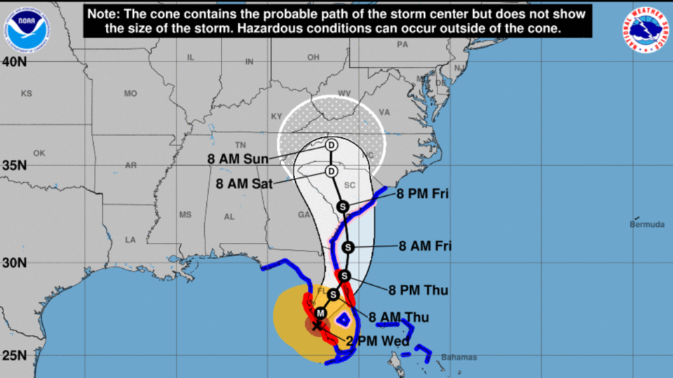
Wind Speed projections by storm designation:
D: Tropical Depression – wind speed less than 39 MPH
S: Tropical Storm – wind speed between 39 MPH and 73 MPH
H: Hurricane – wind speed between 74 MPH and 110 MPH
M: Major Hurricane – wind speed greater than 110 MPH
Bulloch Locations affected
- Statesboro
- Portal
- Denmark
Wind
- Latest Local Forecast: Below tropical storm force wind
- Peak wind forecast: 20-30 mph with gusts to 40 mph
Threat to life and property that includes typical forecast uncertainty in track, size and intensity: Potential for wind 39 to 57 mph
- The wind threat has remained nearly steady from the previous assessment.
- PLAN: Plan for hazardous wind of equivalent tropical storm force.
- PREPARE: Efforts to protect property should now be underway. Prepare for limited wind damage.
- ACT: Act now to complete preparations before the wind becomes hazardous.
Potential impacts: Limited
- Damage to porches, awnings, carports, sheds, and unanchored mobile homes. Unsecured lightweight objects blown about.
- Large tree limbs broken off. A few trees snapped or uprooted, but with greater numbers in places where trees are shallow rooted.
- Some roads impassable due to debris, particularly within urban or heavily wooded locations. Hazardous driving conditions on bridges and other elevated roadways, especially for high profile vehicles.
- Isolated to scattered power and communications outages.
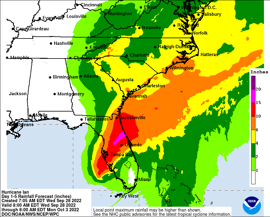
Flooding rain latest local forecast:
- Peak Rainfall Amounts: 3-6 inches, with locally higher amounts
Threat to life and property that includes typical forecast uncertainty in track, size and intensity: Potential for major flooding rain
- The flooding rain threat has increased from the previous assessment.
- PLAN: Emergency plans should include the potential for major flooding from heavy rain. Evacuations and rescues are likely.
- PREPARE: Strongly consider protective actions, especially if you are in an area vulnerable to flooding.
- ACT: Heed any flood watches and warnings. Failure to act will likely result in serious injury or loss of life.
Potential impacts: Extensive
- Major rainfall flooding could prompt many rescues.
- Rivers and tributaries could rapidly overflow their banks in multiple locations. Small streams, creeks, canals, ditches may become dangerous rivers. Flood control systems and barriers could become stressed.
- Flood waters could enter many structures within multiple communities; some structures become uninhabitable or are washed away. Flood waters could cover multiple escape routes. Streets and parking lots become rivers of moving water with underpasses submerged. Driving conditions become dangerous. Many road and bridge closures with some weakened or washed out.
- Drinking water and sewer services could be negatively impacted.
- Hazardous containers and materials could possibly be present in flood waters.
Potential for Tornado: Unfavorable
- Latest local forecast: Situation is unfavorable for tornadoes
Threat to life and property that includes typical forecast uncertainty in track, size and intensity: Tornadoes not expected
- The tornado threat has remained nearly steady from the previous assessment.
- PLAN: Tornadoes are not expected. Showers and thunderstorms with gusty winds may still occur.
- PREPARE: Little to no preparations needed to protect against tornadoes at this time. Keep informed of the latest tornado situation.
- ACT: Listen for changes in the forecast.
Potential impacts from Tornado: Little to none
- Little to no potential impacts from tornadoes.
NHC Live Updates
Have family and Friends Follow and Subscribe to Grice Connect Now
Now is the time to be thinking about your Hurricane preparation plans which include liking and following Grice Connect on Facebook and subscribing to Grice Connect daily emails so you can keep up with how this storm could impact Statesboro and Bulloch County. Please also share with family and friends so they can keep updated with the storm as well.

For more hyper-local Statesboro, Georgia Southern, and Bulloch County news and events delivered directly to your inbox every day, subscribe to Grice Connect's Bulloch Daily email by clicking here. Totally FREE and ALL LOCAL! Unsubscribe at anytime.


